Gibbons, Muir to Pararaha Valley Track
Place: Waitakere Ranges
City & Country: Auckland, NZ
Distance ~ 14 KMs
Time took to complete hiking ~ 6 hours
Route type: Out & Back
Hiking buddies: Five
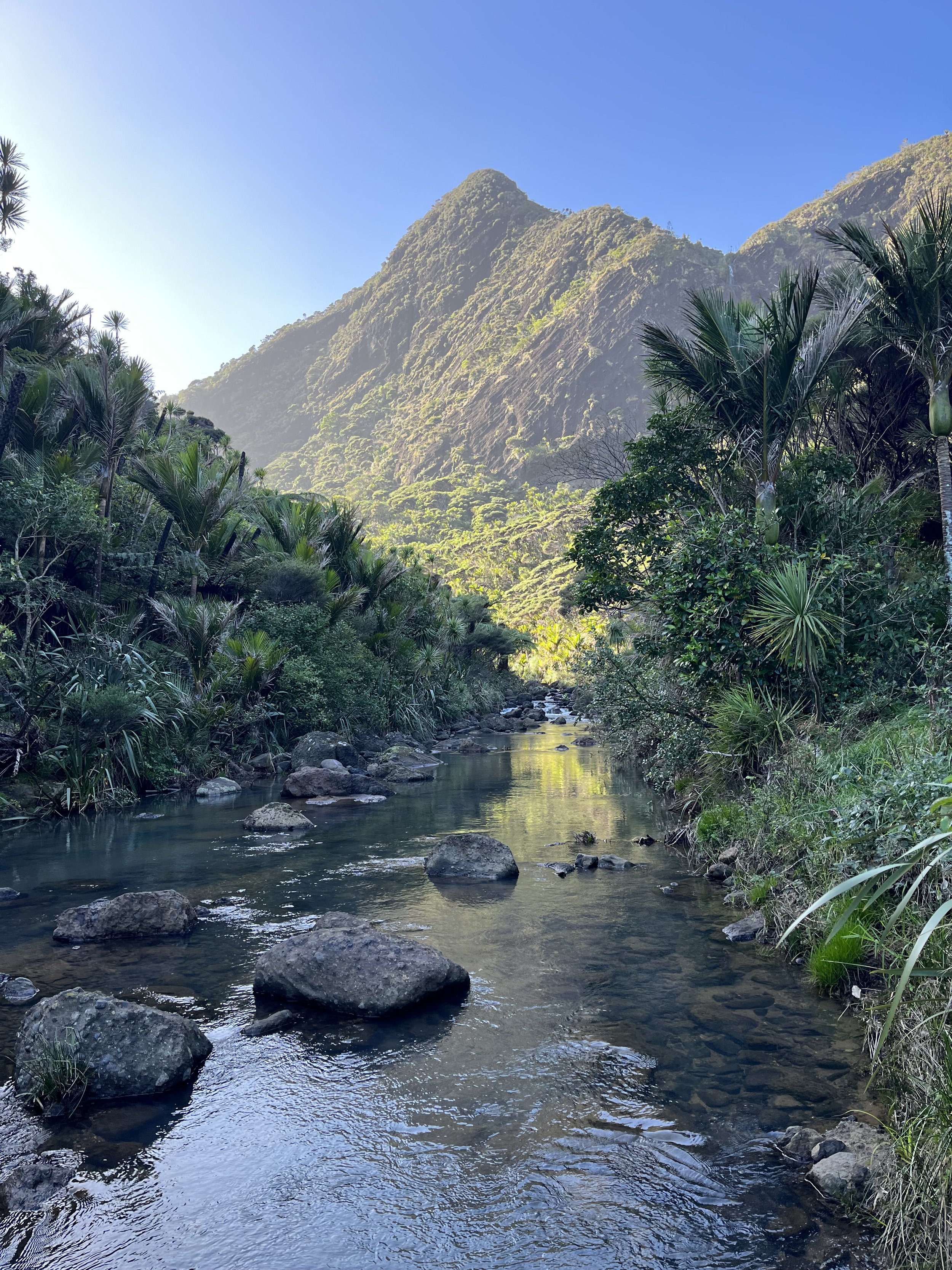
Description
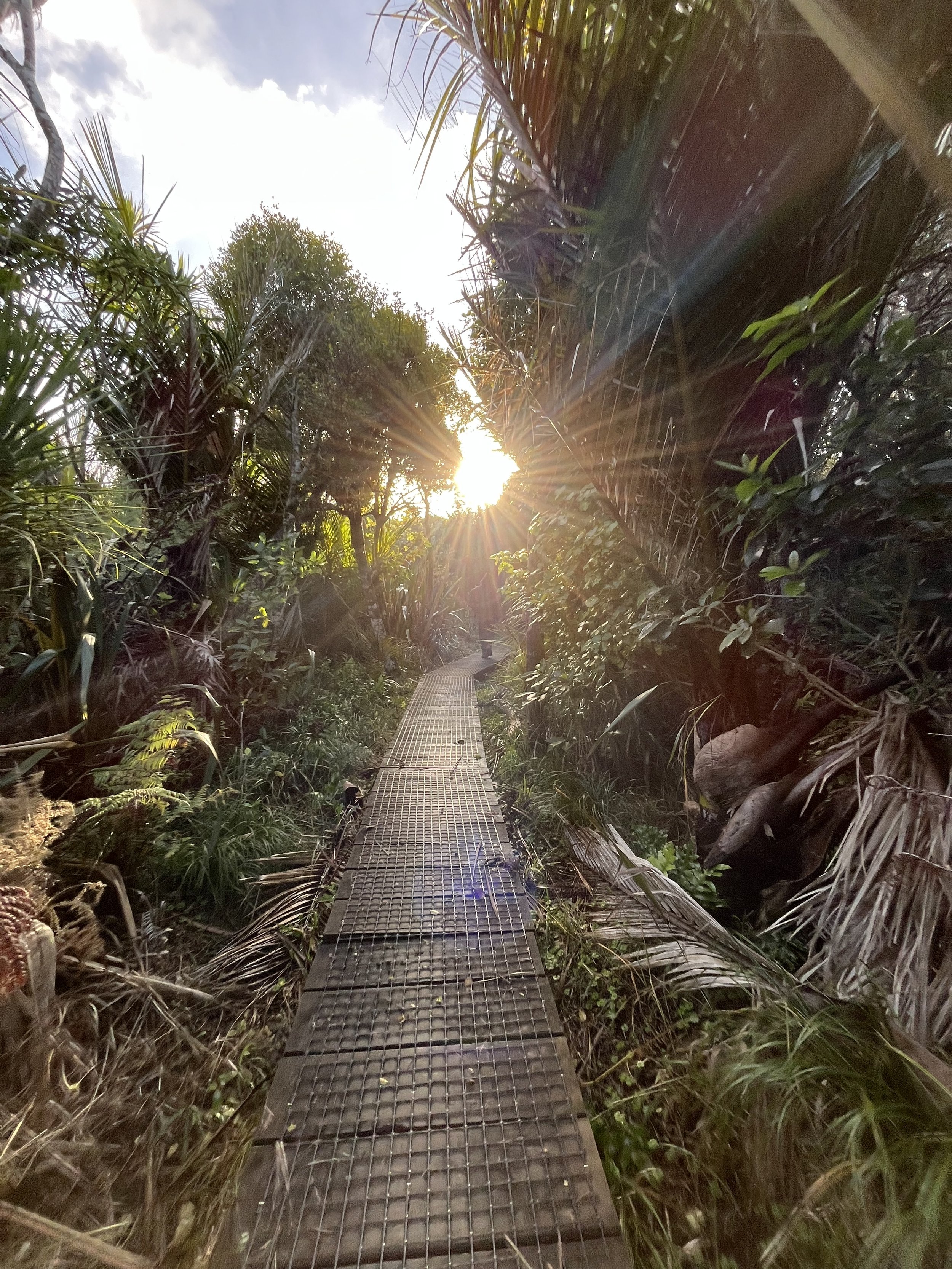
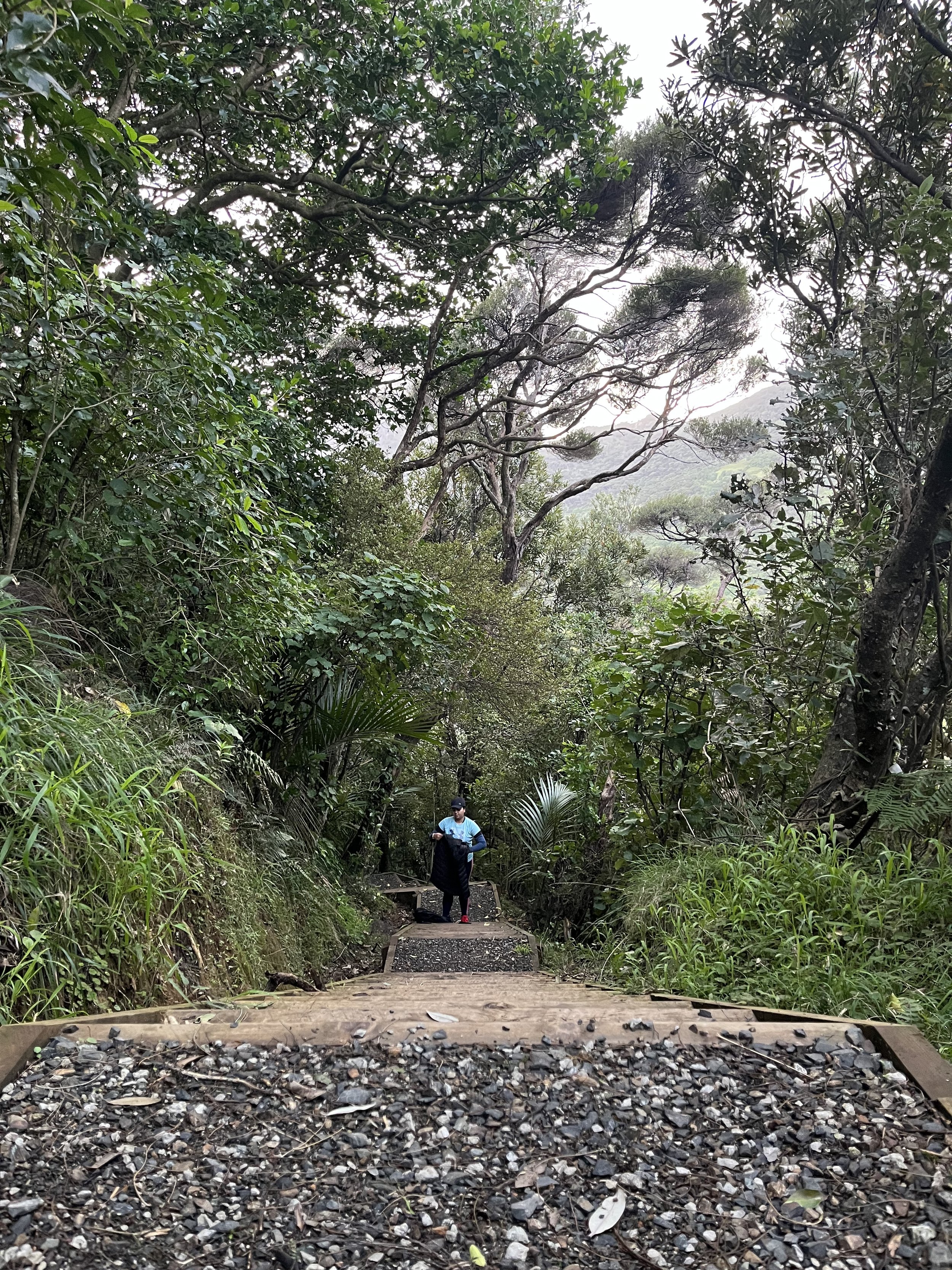
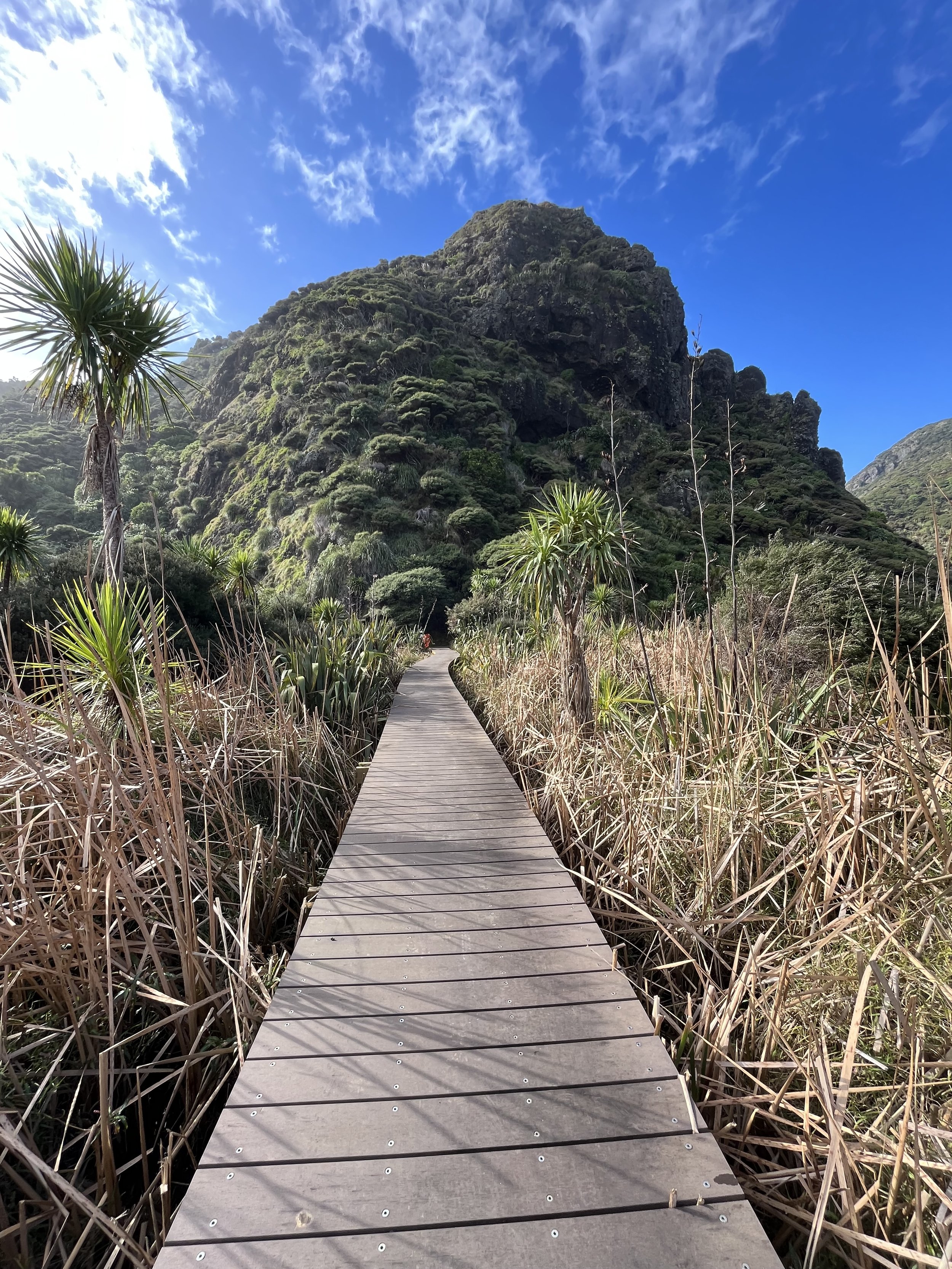
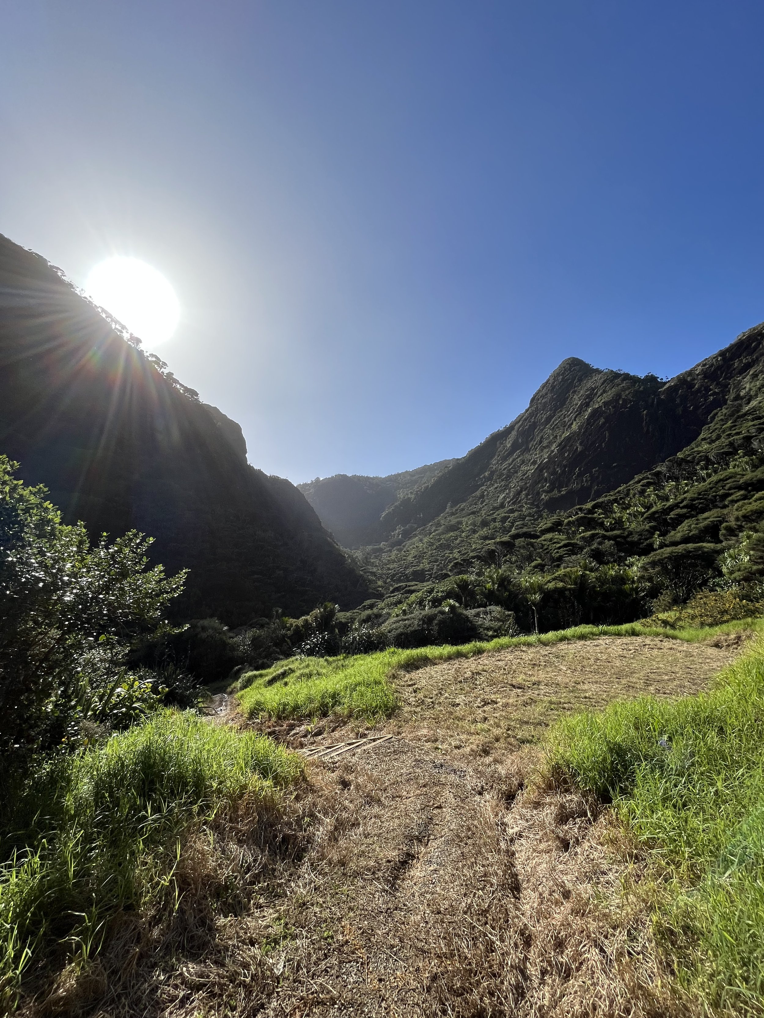
Gibbons Track is located in Waitakere Ranges Regional Park near Auckland. Walking in off the Whatipu car park you get straight into stairs but it’s not for too long before you get to a lookout, further up is a mixture of more stairs and a boardwalk before coming up to some epic views. There is a midpoint which is pretty flat so you get a rest.
Route type
Enjoy this 15-km out-and-back trail near Huia, Auckland. Once an old logging road running along the top of the Whatipū coastal cliffs, Gibbons Track is now a great track for views over the Whatipū wetland. The track has a steep climb from the Whatipū end; however, it is mainly flat and level from that point.

Map
From Auckland CBD, the distance to the Whatipu Cave Track is around 42 km, and it would take approximately 1 hour and 10 mins to reach there.